Most Visited Articles
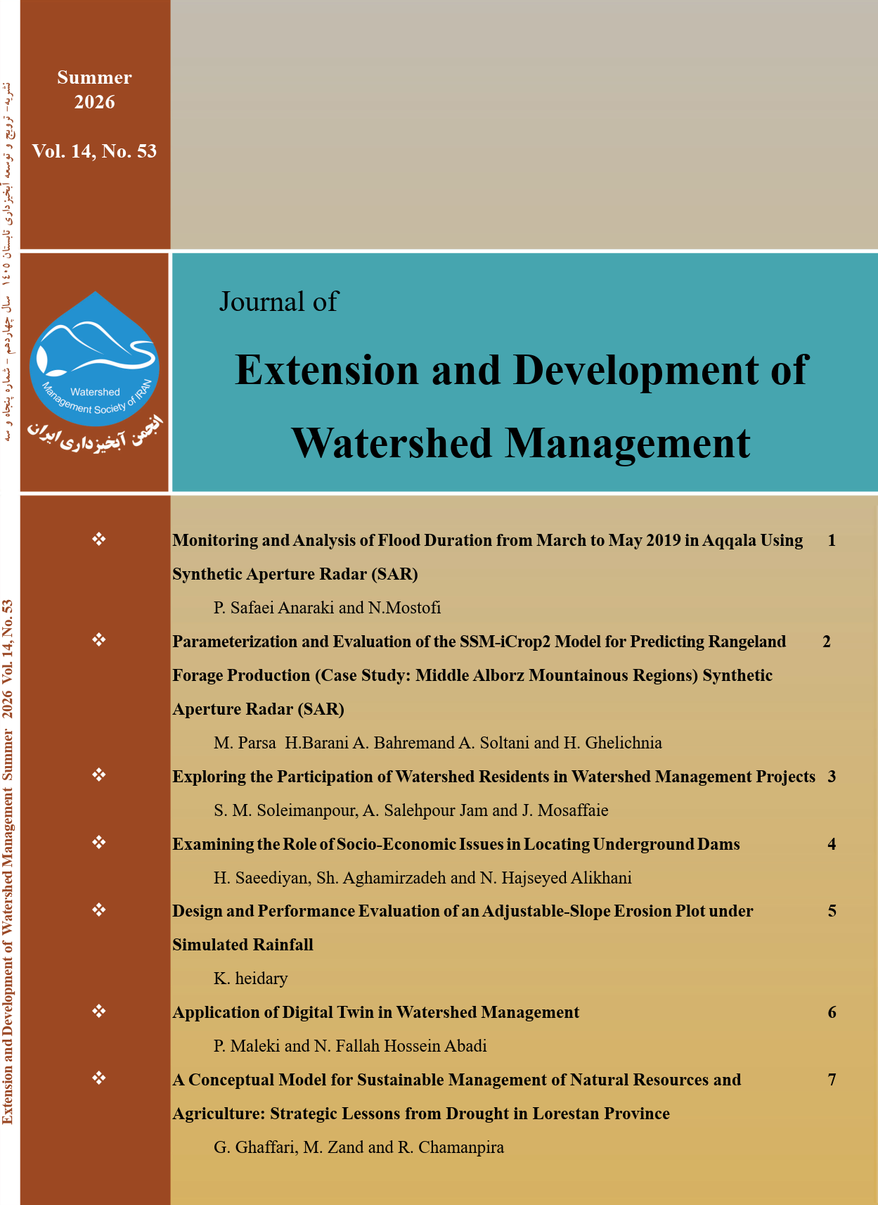
Current Issue: Volume 14, Issue 53 - Serial Number 7, Summer 2026, Pages 1-72
Monitoring and Analysis of Flood Duration from March to May 2019 in Aqqala Using Synthetic Aperture Radar (SAR)
Pages 1-9
pouya safaei anaraki, Nikroz Mostofi
Parameterization and Evaluation of the SSM-iCrop2 Model for Predicting Rangeland Forage Production (Case Study: Middle Alborz Mountainous Regions)
Pages 10-25
Mehrnoush parsa, Hossein Barani, Afshin Soltani, Abdolreza Bahremand, Hasan Ghelichnia
Exploring the participation of watershed residents in watershed management projects
Pages 26-32
Seyed Masoud Soleimanpour, Amin Salehpour Jam, Jamal Mosaffaie
Examining the Role of Socio-Economic Issues in Locating Underground Dams
Pages 33-40
Hamzah saeediyan, shahin aghamirzadeh, najmeh Haj Seyedalikhani
Design and Performance Evaluation of an Adjustable-Slope Erosion Plot under Simulated Rainfall
Pages 41-49
kohzad heidary
Application of Digital Twin in Watershed Management
Pages 50-57
Parisa Maleki, Narges Fallah Hossein Abadi
A Conceptual Model for Sustainable Management of Natural Resources and Agriculture: Strategic Lessons from Drought in Lorestan Province
Pages 58-72
Golaleh Ghaffari, Mehran Zand, Reza Chamanpira
Publication Information
Publisher
Director-in-Charge
Editor-in-Chief
Executive Director
Editorial Board
Frequency
Quarterly
Print ISSN
Search
Indexing and Abstracting


Keywords Cloud
- watershed management
- Climate change
- Drought
- Integrated watershed management
- Runoff
- GIS
- Sustainable development
- Soil erosion
- Sediment yield
- Watershed health
- Groundwater
- Watershed
- flood
- Participation
- Water quality
- Water resources management
- Rainfall Simulator
- Comprehensive Management
- Soil conservation
- Sediment
- Aquifer
- Evaluation
- Sustainable management
- Zoning
- Remote Sensing
- Soil loss
- Underground Dam
- Hydrological drought
- Trend
- Iran
- Sediment delivery ratio
- Soil and water conservation
- Water Balance
- erosion
- water
- Time Series
- Geographic Information System
- Satellite images
- Land use
- water resources
- Social
- SPI index
- Mann-Kendall
- Standardized precipitation index
- Modeling
- Watershed projects
- Analytic hierarchy process (AHP)
- Agriculture
- Desertification
- Erosion plot
- Artificial neural network
- Watershed residents
- sedimentation
- water resource management
- Curve number
- Geostatistics
- stakeholders
- Correlation
- AHP
- Groundwater level
- Base Flow
- Interpolation
- Kriging
- River
- Rainfall
- integrated management
- Mining
- water erosion
- Ecosystem services
- soil
- Pearson correlation
- Fars province
- Climate
- Trend Analysis
- Evapotranspiration
- Water Salinity
- Natural Disasters
- Vegetation cover
- Analytic Network Process (ANP)
- Management of watershed
- Aquifer management
- Snow Water Equivalent
- Waspas
- rangeland
- Electrical conductivity
- Artificial neural networks
- Multivariate regression
- Sen
- Lorestan province
- Effectiveness
- ArcGIS
- linear regression
- Sensitivity analysis
- Soil Degradation
- Precipitation
- Tehran province
- natural resources
- Mapping
- Quality
- check dams
- Geostatistical
- Meteorological drought
- ILAM Province
- Locating
- Economic
- Support Vector Machine
- Governance
- Soil erosion control
- water scarcity
- Haraz river
- landslide
- Subsurface flow
- Downscaling
- Avalanche
- pairwise comparisons
- Land use change
- Flood Control
- Conceptual modeling
- Comprehensive watershed management
- hydrology
- Improper Tillage
- Tectonics
- Flood Water spreading
- carbon sequestration
- lithology
- cluster analysis
- Hierarchical Method
- Assessment
- Strategic planning
- Google Earth Engine
- Analytical Hierarchy Process (AHP)
- snow coefficient
- Fuzzy logic
- Water stress
- Flood spreading
- Radar interferometry
- Comperhesive Watershed management
- Unit Hydrograph
- Multiple regression
- Mann-Kendall test
- Piper diagram
- Analytical hierarchy process
- Model efficiency
- heavy metals
- CWSI
- Modelling
- land degradation
- Forest roads
- resilience
- Urban flood
- Simulation
- Socio-economic issues
- Wind erosion
- Snow cover area
- human factors
- rangeland management
- SPI
- water shortage
- Subsidence
- Appropriate Consumption Pattern
- international channels
- Trend test analysis
- IMDPA model
- rdakan
- erosion processes
- snowfall temperature
- Spearman
- Climate Signal
- Hesar-Garmkhan
- Watershed Resilienc
- Irrigation
- Moran\'s statistic
- Anchoring
- Taylor Diagrams
- CanESM2 Model
- sentinel
- Vegetation indicators
- satellite
- IFE and EFE matrix
- Recession intensity
- Small Baseline method
- Environmental data
- Regression
- Teaching Methods
- Watershed Physiography
- Frequency
- decision-making model
- Rainfall pattern
- mechanical measures
- Prioritization
- Kubuqi model
- landslides
- Scale dependency
- Fuzzy
- Jiroft plain
- Rural sustainable development
- Pettitt test
- Hydrogeologic
- Geosynthetic
- South Khorasan Province